Placing Neighborhoods in Focus
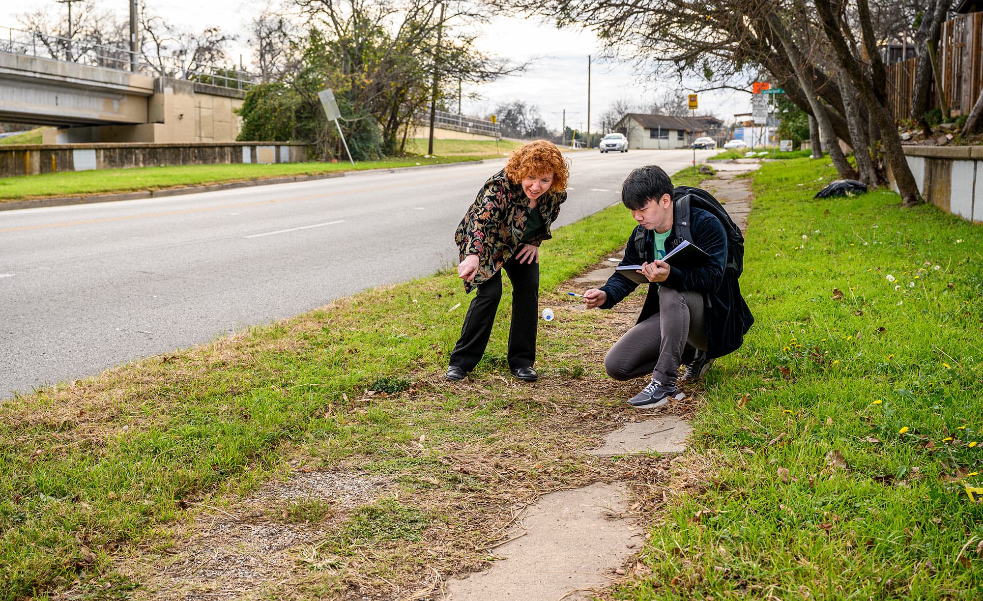
Researchers combined street-level investigations with SMU's supercomputer power to reveal infrastructure deserts. Their study lays the groundwork for improving neighborhoods. All research led by SMU's professor in the Department of Civil and Environmental Engineering, Barbara Minsker.

What are Infrastructure Deserts?
Infrastructure Deserts are low-income neighborhoods with significantly more deficient infrastructure. Due to the difficulty of gathering neighborhood-scale data of multiple infrastructure types on a large scale, most previous studies have primarily focused on either small-scale studies of one or several infrastructure types or large-scale studies at city or regional scale of only a single infrastructure type.
This study fills the gap between these two scales by providing quantitative infrastructure condition assessment at city scale and systematically combining multiple infrastructure types to show overall infrastructure condition using a data-driven framework.
Our Research Tools
Harnessing advanced geospatial technology and data science to uncover infrastructure disparities and empower communities.
Neighborhood Equity Dashboard
An interactive platform showcasing infrastructure conditions across multiple categories, from roads to utilities, enabling stakeholders to pinpoint underserved areas in real-time.
Explore the DashboardClowder Data Hub
A robust system for storing and organizing our extensive datasets, ensuring seamless updates and accessibility for researchers analyzing infrastructure trends over time.
Discover ClowderGeoPandas & Mapbox
Leveraging GeoPandas for spatial data analysis and Mapbox for dynamic visualizations, we map infrastructure gaps with precision and interactivity across urban landscapes.
Learn About GeoPandasArcGIS and ArcPy
With most of our datasets displayed on the dashboard being shapefiles, ArcGIS and ArcPy is a key tool we have used to merge, observe, and compare datasets. The use of ArcGis and ArcPy has helped us develop service areas and test data.
More info on ArcGISOur Research Team
Led by SMU's professor Barbara Minsker in the Department of Civil and Environmental Engineering, our interdisciplinary team combines expertise in data science, civil engineering, and urban planning to identify and address infrastructure inequalities.
- Combining street-level investigations with supercomputer analysis
- Developing data-driven frameworks for infrastructure assessment
- Creating tools for community engagement and policy development

Contact Us
For any questions about our research or to learn more about infrastructure deserts, please reach out to our team.